

Delta/Digitals 5.0
With this software one can load easily on-line satellite images
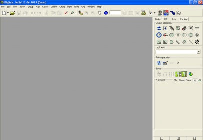
With Delta/Digitals software one can load easily on-line satellite images as a raster background for your vector map. Automatic on-the-fly transformation automatically transforms the raster to a defined map projection/reference system. These images can be used to check your data, make collection, create flight mission layouts, etc. Once downloaded the images are stored in cache and then will be available in off-line for all your LAN users.
Details
Extensions

No information available
The data will be available later.Old versions

No information available
The data will be available later.Awards

There are no awards
Over time, app awards will appear here.Related software

With this tool OPC clients can communicate with and monitor Delta products.

Create responsive interactive map for website in HTML5.

It is a tool designed to get small tile map images from Microsoft VirtualEarth.
Related stories
See all
Google's Project Stream will allow users to watch live gameplay streams on their PCs through Chrome and control the action with their mouse and keyboard.

We have gathered five services based on neural networks that will help you create your own bizarre and captivating images.

Explore lesser-known AI tools like Adobe Firefly, Freepik, Canva, DreamStudio, and Ideogram for stunning social media imagery.


Comments